
Back to products
GPS & Navigational Tools
- All products
- Uncategorized0 products
- Accessories2 products
 Art Resins & Molds12 products
 Art Supplies346 products
- Automatic Level2 products
- Brush Cleaners1 product
 Brushes & Painting Tools33 products
- Bundles0 products
 Canvas & Easels17 products
 Cutting Tools12 products
- Display Easels0 products
 Drawing & Illustration238 products
- Drawing Boards2 products
- Drawing Sheets & Rolls3 products
 Inks9 products
- Laser Pointer0 products
- Leveling Rods0 products
- Leveling Staff1 product
- Mechanical Pencils14 products
 Mediums & Varnishes40 products
- Miscellaneous14 products
- Note Counting Machines0 products
 Office & School Stationery180 products
- Others0 products
- Palettes & Knives7 products
- Presentation Tools5 products
- Prism & Prism Poles0 products
 Projectors0 products
- Sketchbooks14 products
 Surveying & Leveling Instruments20 products
- Total Station3 products
- Tripod Stands1 product
- Uncategorized31 products

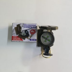
Engineering Direction Compass
- Rugged Metal Case
- Floating Luminous Dial.
- Adjustable Luminous Marching Line .
- Thumb Hold And Magnifier Viewer.
- Sighting Hairline.
- Ideal For Locating Positions On A Map Or In The Field.
- Made In China


Fox Outdoor Precision Compass Metal Case
- Metal Case
- Liquid - Filled
- Accurately Stocked
- Lucid Compass Rose
- Visor Device Inside Lid
- Magnifier Inside Focus
- Nylon Case
- cm and inch scale on the side.
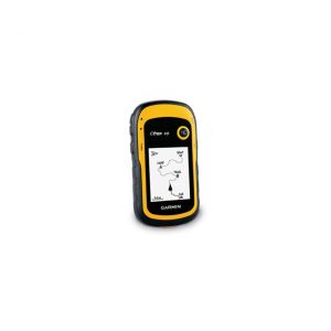
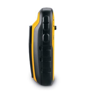
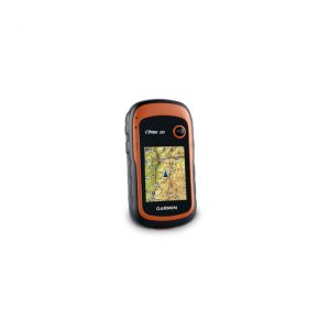
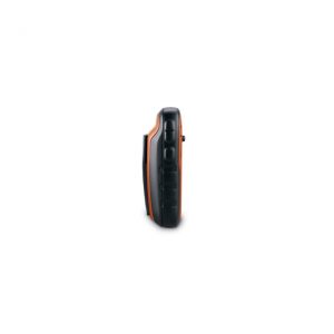
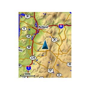
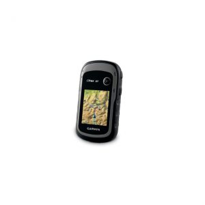
Garmin eTrex 10
See the Way eTrex 10 has an enhanced 2.2" monochrome display that’s easy to read in any lighting situation. Both durable and waterproof, eTrex 10 is built to withstand the elements. Its easy-to-use interface means you’ll spend more time enjoying the outdoors and less time searching for information. eTrex 10 features the legendary toughness that’s built to withstand the elements. Dust, dirt, humidity, water — none are a match for this navigator. Find Fun eTrex 10 supports geocaching GPX files for transferring geocaches. Visit OpenCaching to start your geocaching adventure. By going paperless, you're not only helping the environment but also improving efficiency. eTrex 10 stores and displays key information, including location, terrain, difficulty, hints and descriptions, which means no more manually entering coordinates and paper print outs. Simply upload the GPX file to your eTrex 10 and start hunting for caches. Keep Your Fix With its high-sensitivity, WAAS-enabled GPS receiver and HotFix® satellite prediction, eTrex 10 locates your position quickly and precisely and maintains its GPS location even in heavy cover and deep canyons. Whether you’re in deep woods or just near tall buildings and trees, you can count on eTrex 10 to help you find your way when you need it the most. Go Global eTrex devices are the first-ever consumer-grade receivers that can track both GPS and GLONASS satellites simultaneously. When using GLONASS satellites, the time it takes for the receiver to “lock on” to a position is (on average) approximately 20 percent faster than using GPS. And when using both GPS and GLONASS, the receiver has the ability to lock on to 24 more satellites than using GPS alone. Plan Your Next Trip With BaseCamp™ you'll be able to view and organize your maps, waypoints, routes, and tracks and send them to your device. It displays topgraphic map data in 2-D or 3-D on your computer, including contour lines and elevation profiles. It also can transfer an unlimited amount of satellite images when paired with a BirdsEye Satellite Imagery subscription, as well as geotag photos and associate them with specific waypoints.
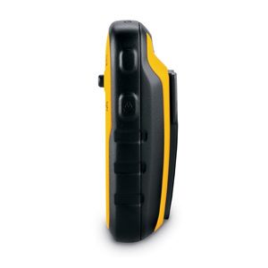
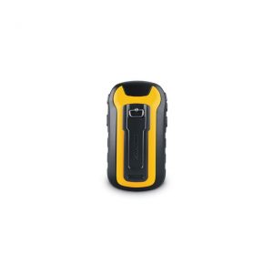
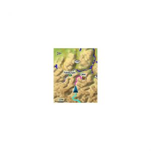
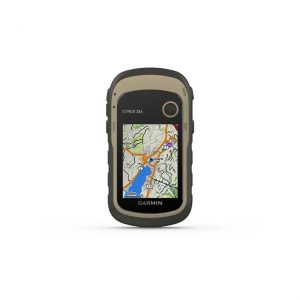
Garmin eTrex 20
eTrex 20 takes one of the most popular and reliable GPS handhelds and makes it better. Redesigned ergonomics, an easier-to-use interface, paperless geocaching and expanded mapping capabilities add up to serious improvements for an already legendary GPS handheld. eTrex 20 is versatile. It's tough. And it’s built to handle whatever Mother Nature can dish out – and more. See The Way eTrex 20 has an enhanced 2.2 in 65K color, sunlight readable display. Durable and waterproof, eTrex 20 is built to withstand the elements. It has an upgraded interface yet retains its legendary toughness to withstand the elements – be it dust, dirt, humidity or water, none of which are a match for this storied navigator. Go Anywhere With an array of compatible mounts, eTrex 20 is designed for use on ATV’s, bicycles, in boats, as a handheld or in your car. Use the auto mount capability and City Navigator NT® maps for turn-by-turn driving directions, or the rugged mount for your motorcycle or ATV. Wherever you think you might take eTrex, it has the mapping and mounts to get you there. Go Global The new eTrex series is the first-ever consumer-grade receivers that can track both GPS and GLONASS satellites simultaneously. GLONASS is a system developed by the Russian Federation that will be fully operational in 2012. When using GLONASS satellites, the time it takes for the receiver to “lock on” to a position is (on average) approximately 20 percent faster than using GPS. And when using both GPS and GLONASS, the receiver has the ability to lock on to 24 more satellites than using GPS alone. Add Maps With its microSD™ card slot and 1.7 GB of internal memory, eTrex 20 lets you load TOPO 24K maps and hit the trail, plug in BlueChart® g2 preloaded cards for a great day on the water or City Navigator NT® map data for turn-by-turn routing on roads (see maps tab for compatible maps). eTrex 20 also supports BirdsEye Satellite Imagery(subscription required), that lets you download satellite images to your device and integrate them with your maps. Keep Your Fix With its high-sensitivity, WAAS-enabled GPS receiver and HotFix® satellite prediction, eTrex locates your position quickly and precisely and maintains its GPS location even in heavy cover and deep canyons. Find Fun eTrex 20 supports geocaching GPX files for downloading geocaches and details straight to your unit. VisitOpenCaching.com to start your geocaching adventure. By going paperless, you're not only helping the environment but also improving efficiency. eTrex 20 stores and displays key information, including location, terrain, difficulty, hints and descriptions, which means no more manually entering coordinates and paper print outs. Simply upload the GPX file to your unit and start hunting for caches. Plan Your Next Trip Take charge of your next adventure with BaseCamp™, software to view and organize your maps, waypoints, routes, and tracks and send them to your Garmin device. This free trip-planning software displays topgraphic map data in 2-D or 3-D on your computer screen, including contour lines and elevation profiles. It also can transfer an unlimited amount of satellite images when paired with a BirdsEye Satellite Imagery subscription as well as geotag photos, or associate them with specific waypoints.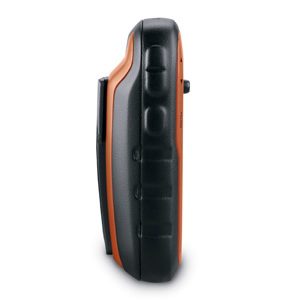
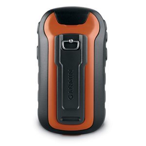
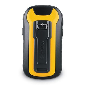
Garmin eTrex 30 GPS with Birdseye Select Voucher
Specification
| Dimensions | H: 10.3cm x W: 5.4cm x D: 3.3cm |
|---|---|
| Display size, WxH | 3.5 x 4.4 cm |
| Display resolution, WxH | 176 x 220 pixels |
| Display type | Transflective, 65k colour TFT |
| Waterproof | Yes |
| Floats | No |
| High-sensitivity receiver | Yes |
| Interface | USB |
| Basemap | Yes |
| Preloaded maps | No |
| Ability to add maps | Yes |
| Built-in memory | 1.7 GB |
| Accepts data cards | MicroSD card (not included) |
| Waypoints/favourites/locations | 2000 |
| Routes | 200 |
| Track log | 10,000 points, 200 saved |
| Automatic routing | Yes (with optional mapping for detailed roads) |
| Barometric altimeter | Yes |
| Electronic compass | Yes |
| Geocaching-friendly | Yes (paperless) |
| Outdoor GPS games | No |
| Hunt/fish calender | Yes |
| Sun and moon info | Yes |
| Tide tables | Yes |
| Area calculation | Yes |
| Custom POIs | Yes |
| Unit-to-unit transfers | Yes |
| Picture viewer | N |
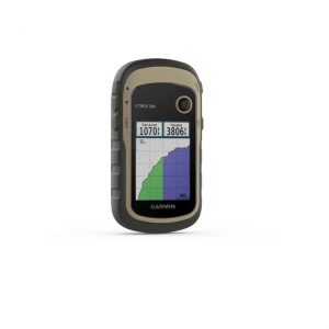
Garmin GPS eTrex 32x
Explore Confidently with the Reliable Handheld GPS 2.2” sunlight-readable color display with 240 x 320 display pixels for improved readability
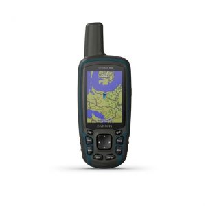
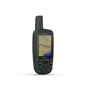
Garmin GPSMAP 64x
Explore the World with Reliable Navigation in Hand Rugged and water-resistant design with button operation and a 2.6” sunlight-readable color